


Our northbound Appalachian Trail hike began at Pine Grove Furnace State Park, which boasts a large parking lot and a warm bathroom facility that is open year-round. After crossing Route 233, we entered Michaux State Forest, completing a gentle uphill climb for .8 mile. At 1.7 miles, we turned left onto Sunset Rocks Trail, and enjoyed the rocky terrain.

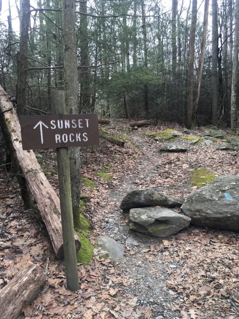
Sunset Rocks Trail is marked with sky blue blazes, whereas the Appalachian Trail is marked with white. The trail is well maintained and was easy to navigate.


After completing .4 mile gradual incline, we came to a “view” side trail which led to the highest point of our trail loop and the name sake of the trail: the Sunset Rocks.


After retracing our steps on the short side trail, we climbed boulders and walked along the ridge line for approximately .4 mile. This portion of the trail was very fun, but can be daunting for new hikers. In some sections, there were options to skirt around the boulders. For safety, Brian took the dogs on the low road, while I got to play and take the high one. 🙂


As the trail progressed downhill, the amount of rocks diminished. At mile 3, we walked along the berm of Michaux Road for .2 miles. Following the blue blazes, we turned left onto an easy pathway through the woods.

We walked 1.1 miles and turned south (right) onto the Appalachian Trail, passing Toms Run Shelter and the AT halfway point. Most AT shelters are a short distance away from the trail. Toms Run is directly beside the trail and it is a great place to stop for a snack or privy (out house) break. We did not stop on this hike, but had lunch at the site when we hiked through PA in 2015.

For the next 2.2 miles, the trail was gentle in terrain and elevation: the ground was virtually rock free and relatively flat. We paused at Toms Run, a large stream near the intersection of Sunset Rocks and the Appalachian Trails, allowing the dogs a fresh water break, and time for me to explore.

The remainder of the trek was downhill, passing cute cabins near Route 233. We walked past the Appalachian Trail Museum and the Ironmasters Mansion that serves as a hiker hostel, returning to our vehicle 3 hours after our start.
| Hike difficulty classifications (link) | |
|---|---|
| Trail difficulty level | Moderate to difficult |
| Geographic location | South-central Pennsylvania, Michaux State Park |
| Trailhead parking options | Pine Grove Furnace State Park |
| Trail amenities | Bathrooms with running water at the trailhead |
| Elevation - trailhead | 863' |
| Elevation - highest peak | 1,442' |
| Elevation gain | 1,201' |
| Total mileage | 8.2 miles |
| Water sources | Water fountain at trailhead and small streams along the route |
| Highlights | Overlook at Sunset Rocks; Boulders for climbing |
Directions to trailhead, Pine Grove Furnace State Park
Map of Pine Grove Furnace State Park
Pole Steeple via the Appalachian Trail